“We’ve changed the plan,” Somsavath said after greeting me at Luang Namtha’s airport.
I’ve known Somsavath, who works in the Provincial Tourism Department (PTD), for a few years, and his modifications always added more bang for your buck. “Where are you taking me?”
As per the original plan, we would head to Nalae Town in the province’s southeast for the night. A boat ride down the Nam Tha River to Ban Khone Kham still stood second. Overland from Nalae to Vieng Phouka remained third, “But then…”
“But then…” often prefaces memorable adventures. Rather than take the paved road back to Luang Namtha Town and on to Sing District, we’d forge through unknown conditions to Long District. From here, we’d tackle a rarely traveled road to the Xieng Kaeng Region, and a view of the Mekong and Myanmar’s mountains, before continuing to Sing.
It took Somsavath 2.5 hours to hustle the 4WD pickup over the 75-km twisty, bumpy dirt road that followed the Nam Tha to Nalae Town, and we expected conditions to get worse.
However, thoughts of our impending rollercoaster ride vanished the next morning at the boat landing underneath the new bridge. We joined the boatmen, huddled around a fire, cooking fish, a staple for people living along the Nam Tha, and everyone fishes. Throughout our cruise, we watched young men paddle to bamboo traps set across rapids, and women, boys, and girls casting nets from the banks.
The long, narrow, motorized vessel powered downstream, while the misty morning air shrouded some of the hills rising right from the shorelines. The river lazily snaked through the tree-lined countryside, though occasional light rapids tumbling around islets snapped the front oar-man into action. He pointed and signaled and buried his oar in the tumult until we safely passed.
Then he’d sit like the rest of us, taking in a silent documentary starring vegetable gardens, scattered villages, women washing clothes, old forests, streams feeding the river, flocks of ducks and lone birds, and plenty of boats.
The river show ended 90 minutes later at Ban Khone Kham, which is gaining popularity as a halfway overnight stop on the Nam Tha cruise from Luang Namtha Town to Houei Xai on the Mekong.
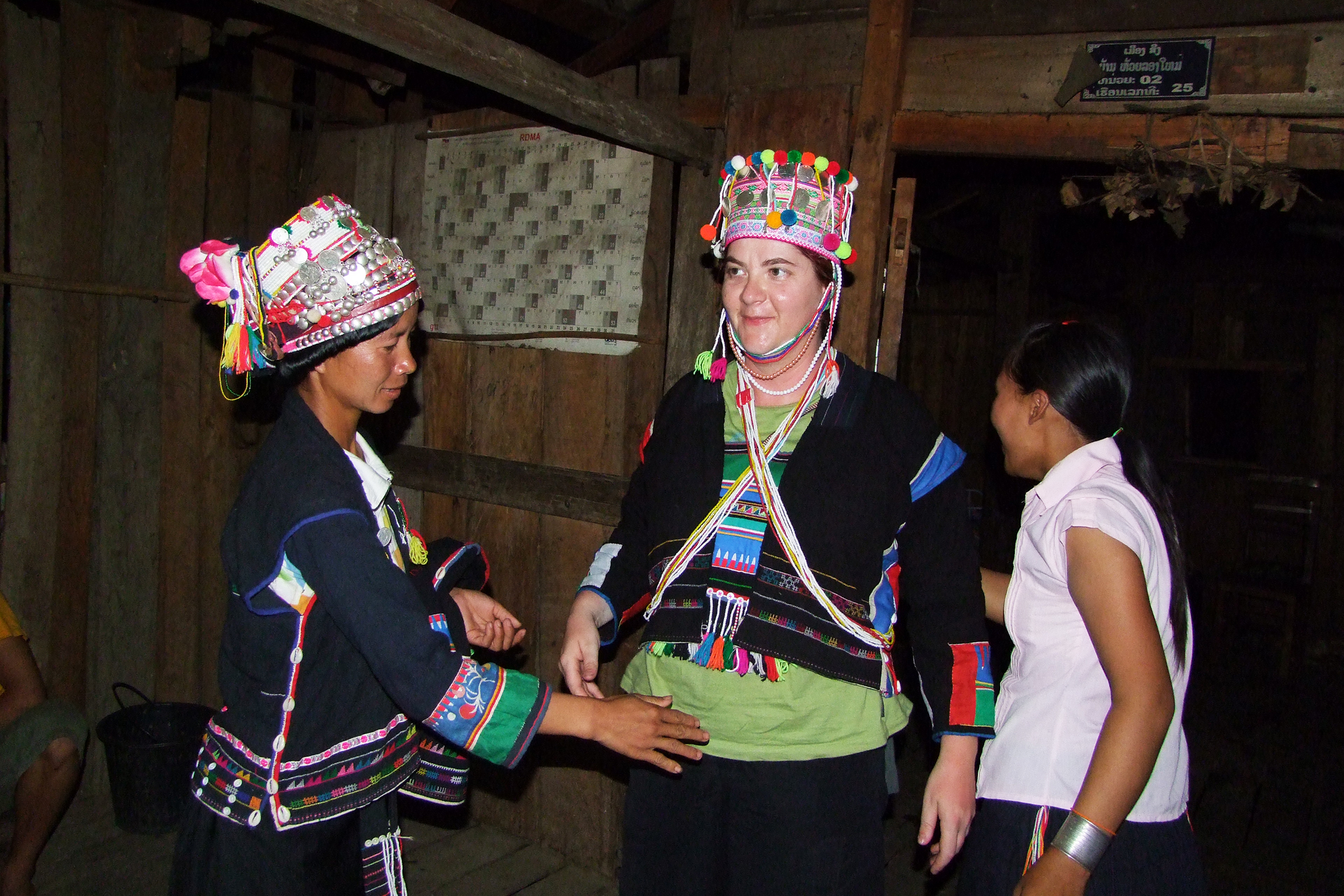
A small party welcomed us, before Mr Boraphan, the village’s English-speaking guide, led us around the 64-house Tai Lue community. The first stop – Ban Khone Kham’s recently refurbished riverside lodge – stood on posts overlooking a set of rapids next to an island of shrubs.
Behind the lodge, the 100-year-old village’s stilted houses climb a hill, and everywhere we went, two or three women would be weaving cotton sins (traditional skirts) at looms under a house.
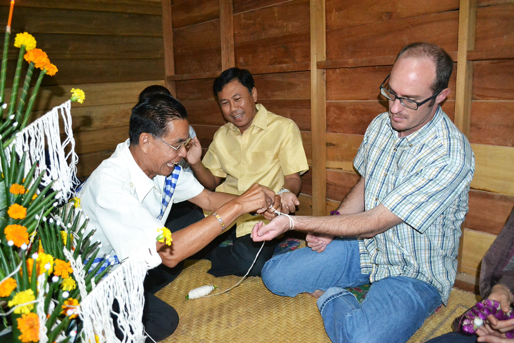
The village also distils lao khao rice alcohol, which I soon discovered. A group met us at the village chief’s house, bottle in hand. One man said, “A little for a greeting, and more to relax.” The second choice won.
On the cruise back to Nalae, we stopped at Ban Phou Khang, interrupted a few school classrooms, and visited Si Boun Huang Temple, home of the village’s annual Rocket Festival (Boun Bang Fai).
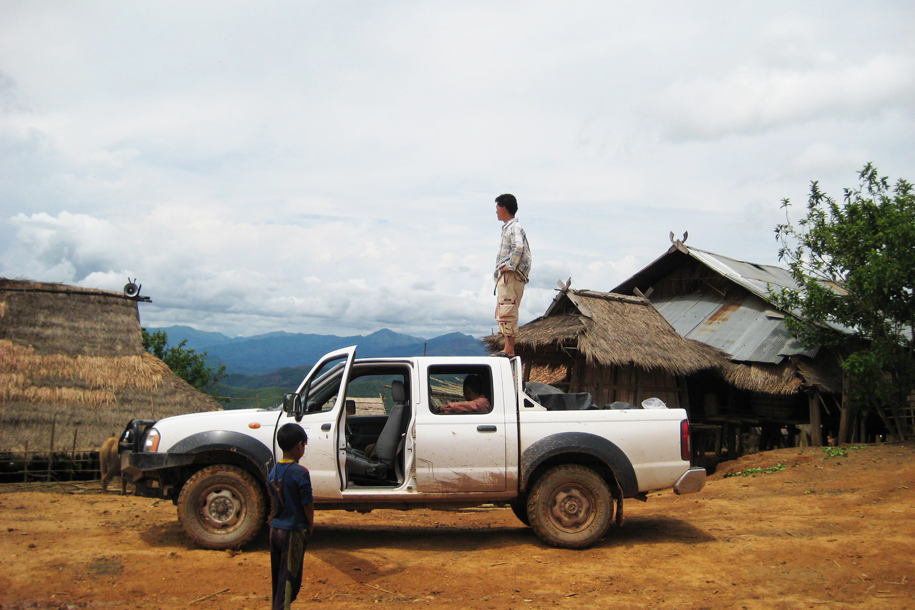
The 76-km drive to Vieng Phouka started deceptively smooth. We quickly passed the Khmu villages of Ban Phou Tin and Ban Long Moon, and peeked at the green-coated mountains we’d cross.
The dirt road got bumpier, as it traversed the monoliths. We hit 900 meters above sea level at Ban Tha Luang, the last village in Nalae, and topped out at 1,164 meters at Ban Phou Let, a trekking and homestay destination. At 19:00, 2.5 hours later, we pulled into Vieng Phouka Town.
After dinner, I dove into bed, while Somsavath and Tone, who was mapping our Luang Namtha lap with a GPS device, scoured the town to see if the road went all 84 km to Long Town. “Half said ‘Yes,’ and half said, ‘No,’” Somsavath announced the next morning. We decided to go for it…
…and immediately got lost. The road degraded into a rut-filled trail. We paused at a precarious log bridge, shrugged, and continued for 30 minutes before meeting a young hunter. He informed us we were on a 50-km cul de sac.
We tried again, and though the road often resembled a cart path, we were passing known villages: Ban Nam Mai and its cave treks, Ban Houei Hok’s Akha homestays, and Ban Tok Lat’s steep climb to Phou Phan Ha Waterfalls.
A broken tree blocked the road about halfway to Long, but Tone and I managed to pull it back enough for Somsavath to pass. We climbed to 1,282 meters, forded the Nam Long River, paused for a panorama of the Nam Ha National Protected Area’s mountain peaks, and continued to Ban Nam Bo and its path to the Nam Long Waterfall some 16 km outside Long Town.
The ordeal took nearly five hours, so we reset a tight Xieng Kaeng target, about 70 km away, for sunset, and left Long at 15:00. The more conventional Route 17B to Sing Town was only 45 km, but for us, it was “Xieng Kaeng or Bust”.
The trail crossed rivers and passed pointed peaks jutting higher and higher. We hit series after series of switchbacks, and the road ruts grew deeper. Then, the GPS device’s memory overflowed. Somsavath stopped, calmly plugged the gadget into his computer, went through some IT ritual, and got us rolling within minutes.
We reached Ban Ja Mai, and just one more mountain to round as the sun closed in on the somewhat hazy horizon. We made it to the 1,800-meter-high Xieng Kaeng viewpoint with time to spare, but the mist presented a somewhat opaque view of Myanmar’s mountains and not a hint of the Mekong.
Baw pen nyang (never mind), we agreed, and continued on the 36-km downhill run to Sing Town, stopping once, as an Akha village hailed us into a party for a beer.
The Long-Xieng Kaeng-Sing leg took five hours, making the 40-km drive to Luang Namtha Town to complete the circuit a well-earned walk in the park.
By: Bernie Rosenbloom